五度妙笔
五度妙笔 API商城
API商城
 数据库
数据库《海洋预报》| 寒潮影响下月亮湾砂质海岸剖面演变数值模拟

寒潮影响下月亮湾砂质海岸剖面演变数值模拟
全文请用PC端下载 地址:
http://www.hyyb.org.cn/Magazine/Show.aspx?ID=3719
读书小笔记
作者:孙成龙1 孙永康2 程长阔1 王亚丁1 石洪源2
单位:
1. 国家海洋技术中心, 自然资源部, 天津 300300;
2. 水利土木学院, 鲁东大学, 山东 烟台 346025
分类号:P731.2
出版年·卷·期(页码):2026·43·第二期(42-52)
摘要:利用Delft3D水动力模型和XBeach沙滩模型相结合的方式,探究了2023年11月寒潮过程中莱州湾月亮湾砂质海岸的响应过程,以0~19 h、20~27 h、28~47 h和48~70 h分别代表寒潮影响初期、寒潮影响最大阶段、寒潮影响减小阶段和寒潮影响结束阶段。分析结果表明:寒潮影响初期(0~19 h),各剖面呈现同步侵蚀-堆积响应,呈现“上淤下蚀”形态;寒潮影响最大阶段(20~27 h),侵蚀锋面向海推进,最大侵蚀深度增加,80%输沙量堆积于潮间带上部,出现沿岸输移分异现象;寒潮影响减小阶段(28~47 h),复合动力作用导致最大侵蚀量突破0.4 m,潮间带上部形成0.45 m堆积体,滩面沙源空间开始分配失衡;寒潮影响后期阶段(48~70 h),波高衰减至0.8 m后地形调整趋缓,但累计效应使最大冲淤量达0.5 m。研究期间,寒潮导致的波浪爬高极值达3.46 m,其空间分布呈现显著剖面差异性,但均低于各剖面滩顶临界高程。这种水位-地形耦合作用导致潮间带上部持续处于动力超冲带,形成系统性侵蚀环境,这一机制是整个海滩剖面呈现净侵蚀主导地貌演变模式的核心原因。
关键词:寒潮 砂质海岸 海岸侵蚀 XBeach Delft3D
Abstract:This paper uses the Delft3D hydrodynamic model and the XBeach beach model to investigate the responses of the sandy coastline at Moon Bay in Laizhou Bay to the cold wave in December 2023. The periods of wave generation, wave peak, wave decay and wave die out are represented by 0~19 h, 20~27 h, 28~47 h, and 48~70 h, respectively. The results show that during the wave generation period (0~19 h), all profiles exhibit synchronous erosion-deposition responses, forming a "siltation above, erosion below" pattern; during the peak period (20~27 h), the erosion front advances towards the sea, with the maximum erosion depth increasing, and 80% of the sediment load is deposited on the upper inter tidal zone, leading to coastal transport differentiation; during the wave decay period (28~47 h), composite dynamic forces cause the maximum erosion volume to exceed 0.4 m, forming a 0.45 m deposit on the upper inter tidal zone, and the spatial distribution of sand sources begins to unbalance; during the wave die out period (48~70 h), after the wave height decays to 0.8 m, the terrain adjustment slows down, but cumulative effects result in a maximum sedimentation volume of 0.5 m. During the study period, the extreme wave height caused by the cold wave reaches 3.46 m, showing significant spatial differences across profiles, but all below the critical elevation of the intertidal top. This water-level-topography coupling effect keeps the upper intertidal zone in a super-sedimentation zone, creating a systematic erosion environment
Key words:cold wave; sandy coast; coastal erosion; XBeach; Delft3D
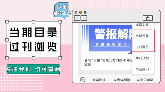
读者也可以通过公众号菜单栏
“相关知识”板块进入《当期目录》和《过刊浏览》
查阅详细期刊内容


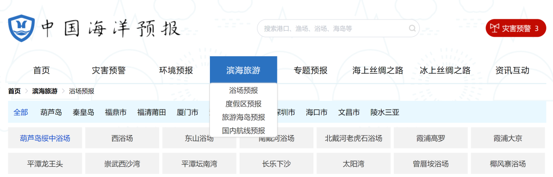
更多滨海旅游海况预报 尽在中国海洋预报


点击下方图片
进入“中国海洋预报”微信小程序

点击下方图片
进入“全球海啸预警”微信小程序

长按下方图片,识别二维码
关注“国家海洋环境预报中心”公众号