
 五度妙笔
五度妙笔 企业透视镜
企业透视镜 API商城
API商城
 数据库
数据库海浪&大潮消息 | 台风“海葵”(2311)残涡路径和引发极端暴雨的成因分析
海浪消息
国家海洋预报台7月6日09时发布海浪消息:
受出海气旋的影响,预计7月8日白天,黄海北部将出现一次大浪以上过程。请在上述海域作业的船只注意避浪,并及时关注我台后续海浪预警报。
大潮消息
国家海洋预报台7月6日16时发布大潮消息:受弱低压系统影响,7月7日夜间至8日夜间,渤海湾将出现20到40厘米的风暴增水。河北省唐山市沿海将出现接近当地蓝色警戒潮位的高潮位。请沿海政府及相关部门按照职责做好沿海低洼地区防潮工作。

台风“海葵”(2311)残涡路径和引发极端暴雨的成因分析
全文请用PC端下载 地址:
http://www.hyyb.org.cn/Magazine/Show.aspx?ID=3726
读书小笔记
作者:赖珍权1 2 屈梅芳1 2 覃皓1 2 祁丽燕1 2 余兴明1
单位:
1. 广西壮族自治区气象台, 广西 南宁 530022;
2. 北部湾国家气候观象台开放实验室, 广西 南宁 530022
分类号:P444
出版年·卷·期(页码):2026·43·第二期(117-127)
摘要:利用气象观测资料、ERA5再分析资料、双偏振雷达等资料,对2311号台风“海葵”残涡路径、维持机制及产生广西极端暴雨的成因进行分析。结果表明:台风“海葵”残涡位于大陆高压与副热带高压之间的辐合带中,以缓慢西行为主,残涡陆上维持长达130 h。高层辐散、季风卷入、前后不同性质的锋生强迫,有利于海葵残涡的长时间维持;涡度收支诊断表明残涡维持期间正涡度增长的主要贡献为水平散度项,倾侧项为次贡献,涡度平流项、垂直输送项和陆地摩擦作用主要为负贡献;北海东部至玉林中南部极端降水区上空具有强不稳定能量,气团暖湿,整层可降水量大值中心达70 mm以上,较低的抬升凝结高度和自由对流高度及深厚的暖云层有利于低质心、高效率降水发生,同时水汽和不稳定条件均伴有显著异常;残涡环流结构完整且位置少动、锋生作用、强盛的上升运动、强水汽辐合及深厚的辐合层次、地面辐合线长时间维持、地形增幅作用,以及后向传播和列车效应有利于极端降水的发生;降水回波质心低、降水效率高,属于典型暖云降水。降水粒子以直径1~3 mm的中小雨滴为主,雨滴密度较大。
关键词:残涡路径 维持机制 极端暴雨 涡度收支 锋生强迫
Abstract:Based on meteorological observational data, the ERA5 reanalysis data, the dual-polarization radar data, etc., the path of the remnant vortex of Typhoon "Haikui"(2311), the maintenance mechanism and causes of the accompanying extreme rainstorm in Guangxi are analyzed. The results show that: Haikui remnant vortex was located in the convergence zone between the continental high and the subtropical high, mainly moving slowly westward. The upper-level divergence, monsoon involvement, and frontogenesis forcing of different natures were all favorable to the long-term maintenance of the remnant vortex. Vorticity budget diagnosis presented that the main contributor to the positive vorticity growth during the maintenance of the remnant vortex was the horizontal divergence term, and the tilting term was the secondary contributor, while the vorticity advection term, vertical transport term, and land friction had negative contributions. Over the extreme precipitation area from the eastern part of Beihai city to the central and southern parts of Yulin city, there was strong unstable energy, warm and humid air with the center of the total column water vapor reaching more than 70 mm, and low Lifting Condensation Level(LCL) and low Level of Free Convection(LFC), as well as deep warm cloud layers, all of which were beneficial to the occurrence of low-centroid echo and high-efficiency precipitation. Moreover, the water vapor and the unstable conditions both had significant anomalies. The complete circulation structure and relatively stationary position of the remnant vortex circulation, frontogenesis, strong ascending motion, strong water vapor convergence with deep convergence layers, long-term maintenance of the surface convergence lines, topographic amplification effect, as well as echo backward propagation and train effect were all conducive to the occurrence and persistence of heavy precipitation, thus resulting in extreme heavy precipitation. The radar echoes were characterized by low centroids and high precipitation efficiency, belonging to typical warm cloud precipitation, whose particles were mainly small and medium-sized raindrops(1~3 mm in diameter), with relatively high raindrop density.
Key words:path of the remnant vortex; maintenance mechanism; extreme rainstorm; vorticity budget; frontogenesis forcing
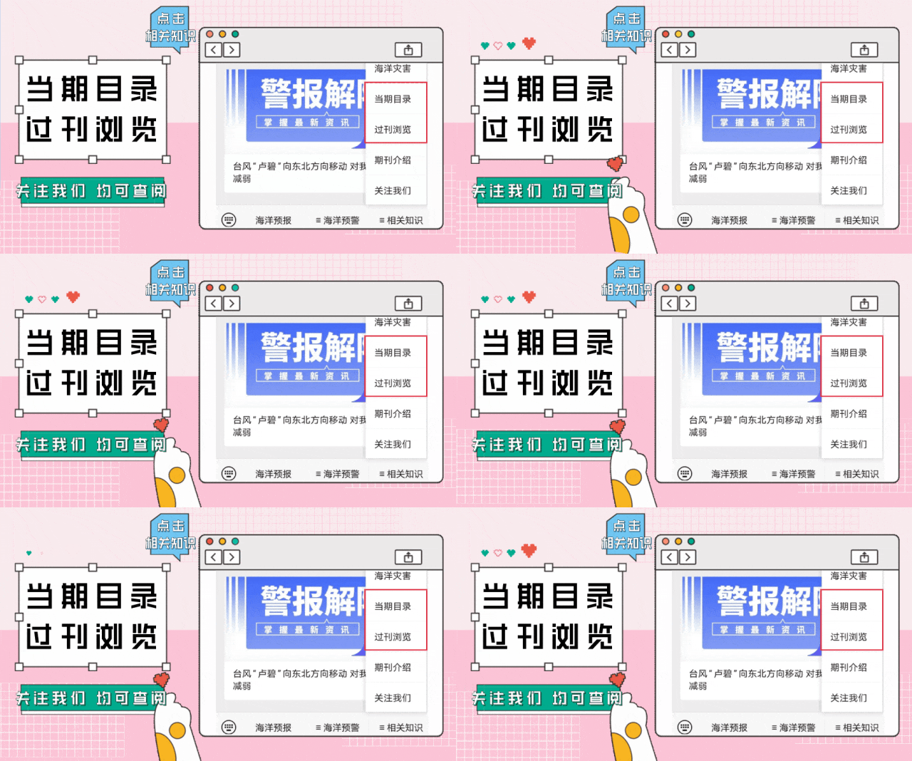
读者也可以通过公众号菜单栏
“相关知识”板块进入
《当期目录》和《过刊浏览》
查阅详细期刊内容




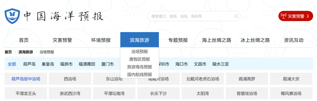
更多滨海旅游海况预报 尽在中国海洋预报


点击下方图片
进入“中国海洋预报”微信小程序

点击下方图片
进入“全球海啸预警”微信小程序

长按下方图片,识别二维码
关注“国家海洋环境预报中心”公众号