
 五度妙笔
五度妙笔 企业透视镜
企业透视镜 API商城
API商城
 数据库
数据库《海洋预报》| 台风“格美”倒槽雨带中“列车效应”的中尺度特征及成因分析

台风“格美”倒槽雨带中“列车效应”的中尺度特征及成因分析
全文请用PC端下载 地址:
http://www.hyyb.org.cn/Magazine/Show.aspx?ID=3737
读书小笔记
作者:胡晓琳1 2 李君1 2 周莉3 4 贾瑞1 2 李妍1 2 何康敏5
单位:
1. 山东省防灾减灾重点实验室, 山东 济南 250031;
2. 山东省淄博市气象局, 山东 淄博 255048;
3. 气象防灾减灾湖南省重点实验室, 湖南 长沙 410118;
4. 湖南省气象台, 湖南 长沙 410118;
5. 山东省沂源县气象局, 山东 淄博 256100
分类号:P458.2
出版年·卷·期(页码):2026·43·第三期(66-81)
摘要:利用雨滴谱、雷达、卫星等多种观测产品和ERA5再分析资料,对2024年第3号台风“格美”倒槽雨带中“列车效应”的中尺度特征及对流触发维持机制进行了诊断分析。结果表明:7月28日04:00—12:00,西风槽后中层冷空气与台风倒槽共同影响山东,低层偏南急流与东北风的切变在鲁中—山东半岛的西北部地区稳定维持,最终形成“列车效应”。“列车效应”影响期间,反射率因子大值区、云顶黑体亮度温度梯度大值区和短时强降水落区高度重合,强降水具有海洋型对流降水特征。“列车效应”强回波带的上游,即济宁、枣庄和临沂的交界处是回波快速增强区,对流单体的反射率因子迅速增大、回波中心高度快速升高且单体后向传播;强回波带的对流单体已发展到成熟阶段,回波中心高度和反射率因子强度变化不大。高温高湿区(假相当位温≥348 K)、水汽通量辐合线和整层水汽通量散度负值区一直位于列车线附近,充沛的水汽和能量配合稳定持续的强辐合作用是形成“列车效应”的重要因素。回波快速增强区的对流触发和维持机制不同,04:00—08:00台风倒槽顶端风场辐合触发条件对称不稳定,强辐合中心从低层倾斜向北发展到中层500 hPa;08:00—12:00地面冷池与低层暖湿空气对峙触发新对流,中层高位涡干冷空气侵入促使正涡度平流发展,较强的斜压性和正涡度平流的抽吸作用使得低层辐合上升,“列车效应”进一步加强。
关键词:台风倒槽 “列车效应” 中层冷空气 冷池
Abstract:This research utilized raindrop spectrum data, radar data, satellite observations, and ERA5 reanalysis data to diagnose the mesoscale characteristics and convective triggering and maintenance mechanisms of the "train effect" within the inverted trough rainband of Typhoon "Gaemi"(2024 No.3). The results show that from 04: 00 to 12: 00 on July 28, the mid-level cold air behind the westerly trough and the typhoon inverted trough jointly influenced Shandong. The persistent shear line formed between the low-level southerly jet and the northeasterly winds was stably maintained over the central part of shandong and the northwestern part of the Shandong Peninsula, ultimately leading to the formation of the "train effect". During the period influenced by the "train effect", high reflectivity factor zones, zones with large gradients of Top Brightness Temperature, and shortduration heavy precipitation areas coincide, with the heavy precipitation exhibiting characteristics of maritime convective precipitation. Upstream of the strong echo band associated with the "train effect", specifically in the junction area of Jining, Zaozhuang, and Linyi, there is a rapid enhancement of echoes. The reflectivity factor of convective cells increases sharply, the echo center height rises quickly, and the cells propagate backward. In contrast, within the strong echo band of the "train effect" the convective cells have already reached a mature stage, with little change in the echo center height and the intensity of the reflectivity factor. The high-temperature and high-humidity region(Pseudo-equivalent potential temperature ≥348 K), the water vapor flux convergence line, and the area of negative water vapor flux divergence throughout the layer are consistently located near the train line. Sustained strong convergence acting on abundant moisture and energy constitutes essential conditions for the "train effect" formation. Distinct mechanisms for both triggering and maintaining convection characterize the rapid echo enhancement region. From 04:00 to 08:00, convergence within the wind field at the apex of the typhoon inverted trough triggers conditional symmetric instability, with the strong convergence center tilting northward as it developed from the lower levels to 500 hPa. From 08:00 to 12:00, the confrontation between the surface cold pool and the low-level warm and moist airflow triggers new convection. The intrusion of dry and cold air with high potential vorticity into the mid-levels promotes the development of positive vorticity advection. The strong baroclinicity and the suction effect of positive vorticity advection lead to low-level convergence and ascent, further intensifying the "train effect".
Key words:typhoon inverted trough; "train effect"; middle-level cold air; cold pool
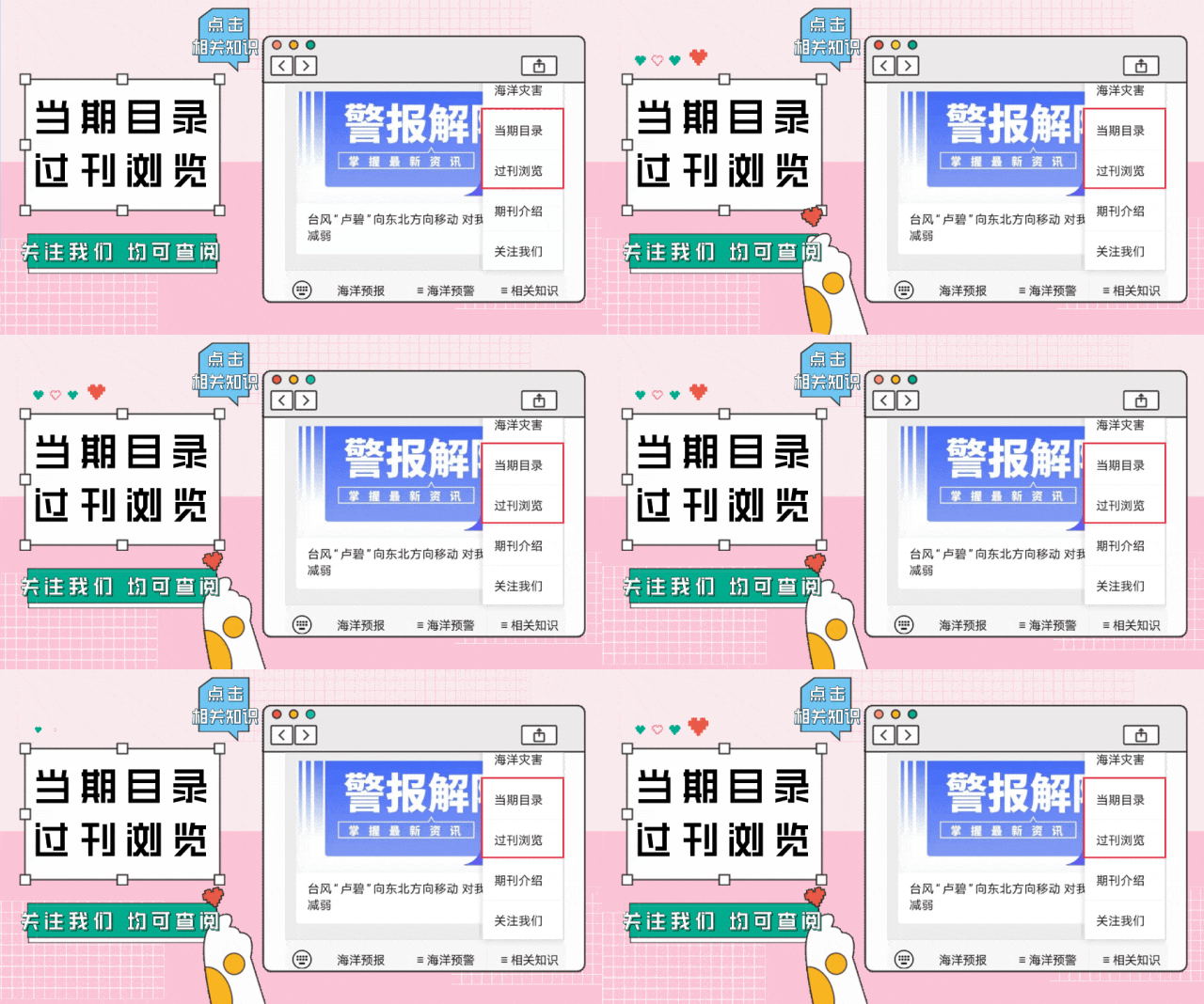
读者也可以通过公众号菜单栏
“相关知识”板块进入《当期目录》和《过刊浏览》
查阅详细期刊内容

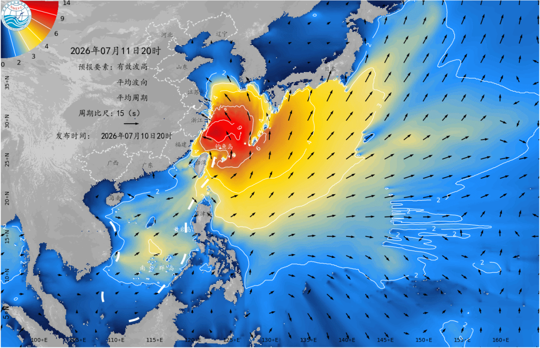


更多滨海旅游海况预报 尽在中国海洋预报


点击下方图片
进入“中国海洋预报”微信小程序

点击下方图片
进入“全球海啸预警”微信小程序

长按下方图片,识别二维码
关注“国家海洋环境预报中心”公众号