
 五度妙笔
五度妙笔 企业透视镜
企业透视镜 API商城
API商城
 数据库
数据库《海洋预报》| 基于IMERG降水产品的台湾海峡非台风暴雨特征及成因分析

国家海洋预报台8月31日15时发布海浪消息:
受南海热带低压的影响,预计8月31日夜间至9月3日,南海北部、中部将出现一次大浪到巨浪过程。请在上述海域作业的船只注意避浪,并及时关注我台后续海浪预警报。

基于IMERG降水产品的台湾海峡非台风暴雨特征及成因分析
全文请用PC端下载 地址:
http://www.hyyb.org.cn/Magazine/Show.aspx?ID=3739
读书小笔记
作者:高珊1 2 3 高聪晖1 2 3 叶韫盛1 2 林佳怡4 陈文键1
单位:
1. 福建省气象台, 福建 福州 350007;
2. 中国气象局海峡灾害天气重点开放实验室, 福建 福州 350007;
3. 平潭台湾海峡海洋气象福建省野外科学观测研究站, 福建 平潭 350400;
4. 北京师范大学地理科学学部, 北京 100080
分类号:P426.6
出版年·卷·期(页码):2026·43·第三期(93-104)
摘要:利用国际卫星全球降水测量任务(GPM)综合多卫星反演产品(IMERG)填补海上观测资料的不足,应用ERA5再分析资料,统计分析台湾海峡非台风暴雨的时空分布特征,并采用分类合成方法研究其成因。结果表明:2016—2021年台湾海峡海上暴雨日多出现在春季及6月;年均暴雨日数高值区、日极值大值区主要集中在海峡北部和海峡东南部海区。暴雨多发月份的500 hPa天气形势可分为副高边缘西南风型、季风槽东部辐合型两类。合成分析发现,非台风暴雨多发生在高层辐散、低层辐合、冷暖空气交汇等有利形势下,暴雨多发区分布与中小尺度低空急流脉动、海峡地形作用密切相关。研究建立了两个暴雨多发区极端强降水的概念模型,并提炼相应预报着眼点:海峡北部暴雨多发区,与西南急流穿越海峡后受多重地形作用形成的强风急流核相关;海峡东南部暴雨多发区,与西南急流穿越巴士海峡后左侧强辐合及地形抬升作用相关。
关键词:IMERG 非台风暴雨 时空特征 分类合成 低空急流 地形效应
Abstract:Using the Integrated Multi-satellite Retrievals for Global Precipitation Measurement(IMERG) precipitation products to fill in the gap of marine observations, the ERA5 reanalysis data are used to statistically analyze the spatial and temporal distribution characteristics of non-typhoon rainstorms in the Taiwan Strait, and the causes are derived from a classification and synthesis method. It is found that the rainstorms on the sea is the most in spring and June between 2016 and 2021. The areas with frequent annual rainstorm days and maximum daily extreme values are concentrated in the north and southeast of the strait. The 500 hPa situation on multiple monthly rainstorm days can be classified into the southwest wind type on the edge of the subtropical high and the convergence type in the east of the monsoon trough. Synthetic analysis shows that non-typhoon rainstorms occur under the favorable situation of high-level divergence, low-level convergence, cold and warm convergence, etc. Rainstorm prone areas are closely related to small and medium-sized low-level jet fluctuations and strait topography. We obtain conceptual models and forecast focus for two high occurrence areas of extreme heavy precipitation: the high occurrence area in the northern part of the strait and the southwest jet stream crossing the strait, forming a strong wind jet core correlation under various terrain conditions; The frequent occurrence area in the southeastern part of the strait is related to the strong convergence on the left side of the southwest jet stream passing through the Bashi Strait and the uplift in front of the mountains.
Key words:Integrated Multi-satellite Retrievals for Global Precipitation Measurement; offshore non typhoon rainstorm; spatial-temporal features; clustering synthesis; low-level jet stream; terrain effect

读者也可以通过公众号菜单栏
“相关知识”板块进入《当期目录》和《过刊浏览》
查阅详细期刊内容




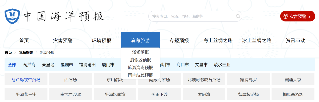
更多滨海旅游海况预报 尽在中国海洋预报


点击下方图片
进入“中国海洋预报”微信小程序

点击下方图片
进入“全球海啸预警”微信小程序

长按下方图片,识别二维码
关注“国家海洋环境预报中心”公众号