
 五度妙笔
五度妙笔 企业透视镜
企业透视镜 API商城
API商城
 数据库
数据库风暴潮黄色警报 &《海洋预报》| 基于变权理论的台风灾害风险评估及驱动机制研究:以福建省为例
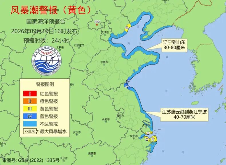
国家海洋预报台根据《海洋灾害应急预案》今天(10日)下午发布风暴潮黄色警报。

受冷空气的影响,预计9月10日下午至11日上午,辽宁到山东沿海将出现30到80厘米的风暴增水,江苏连云港到浙江宁波沿海将出现40到70厘米的风暴增水。
河北省秦皇岛市,上海市,浙江省宁波市和舟山市的风暴潮预警级别为黄色,山东省日照市和江苏省连云港市的风暴潮预警级别为蓝色。
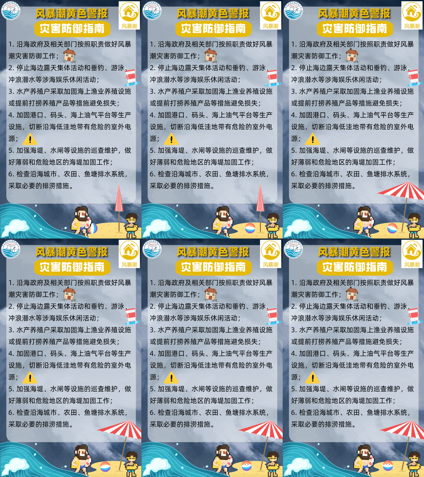
请沿海政府及相关部门按照职责做好防御风暴潮的应急准备工作;组织各类船只回港避风,做好养殖水产设施和养殖渔排的维护、加固等防御措施;加强沿海海堤、水闸等设施的巡查,薄弱地区和危险地区的海堤及时加固除险。
预计11日视情况解除此次风暴潮警报。

基于变权理论的台风灾害风险评估及驱动机制研究:以福建省为例
全文请用PC端下载 地址:
http://www.hyyb.org.cn/Magazine/Show.aspx?ID=3741
读书小笔记
作者:陈兆芳 余晨樑
单位:
福建理工大学 管理学院, 福建 福州 350118
分类号:P444
出版年·卷·期(页码):2026·43·第三期(115-131)
摘要:为科学识别常态下台风灾害风险的区域分异特征,提升防灾减灾决策的精准性与适应性,研究基于变权理论构建了福建省县域单元台风灾害风险评估模型。依据区域灾害系统理论,从致灾因子危险性、孕灾环境敏感性、承灾体脆弱性及防灾减灾能力4个维度建立综合评价指标体系,采用博弈论组合赋权确定基础权重,引入变权理论实现权重动态调整,并借助ArcGIS自然断点法划定变权区间,最终生成福建省台风灾害风险空间分异图,并进一步运用地理探测器解析风险驱动机制。结果表明:福建省台风灾害风险空间分异显著,呈现“沿海高、内陆低、平原高、山区低”的梯度分布特征,高风险区集中于沿海核心区域,低风险区分布于闽西地区;过程降雨量、归一化植被指数、建设面积占比等因子解释力较强,社会经济发展与自然致灾因子的协同效应显著加剧区域灾害风险。
关键词:灾害风险 变权理论 县域单元 空间分异 地理探测器
Abstract:To scientifically identify the regional differentiation characteristics of typhoon disaster risks under normal circumstances, and to enhance the accuracy and adaptability of disaster prevention and mitigation decision-making, this study constructs a typhoon disaster risk assessment model for county-level units in Fujian Province based on variable weights theory. According to the regional disaster system theory, a comprehensive evaluation index system is established from four dimensions: the hazard of triggering factors, the sensitivity of the environment for disaster formation, the vulnerability of the disaster-bearing bodies, and the capacity for disaster prevention and mitigation. The combined weighting method of game theory is used to determine the constant weight, the variable weight theory is introduced to achieve dynamic adjustment of the weights, and the ArcGIS natural breakpoint method is used to define the variable weight intervals. Finally, a spatial differentiation map of typhoon disaster risk in Fujian Province is generated and the risk driving mechanism is analyzed by using the geographical detector. The results show that the spatial differentiation of typhoon disaster risk in Fujian Province is significant, presenting a gradient distribution feature of "high in the coastal areas, low in the inland areas, high in the plains, and low in the mountainous areas". The high-risk areas are concentrated in the core areas of the coastal regions, and the low-risk areas are distributed in the areas of western Fujian. Factors such as process rainfall, Normalized Difference Vegetation Index, and the proportion of construction area have strong explanatory power, and the synergy effect of social economic development and natural triggering factors significantly intensifies regional risks.
Key words:disaster risk; variable weight theory; county-level unit; spatial distribution; geographical detector
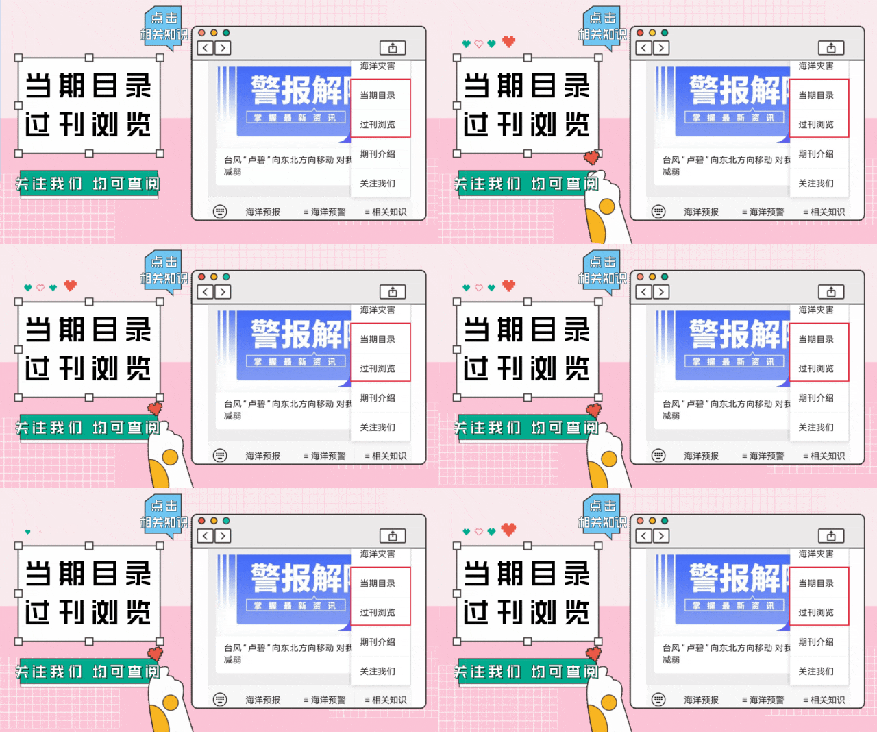
读者也可以通过公众号菜单栏
“相关知识”板块进入《当期目录》和《过刊浏览》
查阅详细期刊内容




更多滨海旅游海况预报 尽在中国海洋预报


长按下方图片或扫描图上二维码
进入“中国海洋预报”微信小程序

点击下方图片
进入“全球海啸预警”微信小程序

长按下方图片,识别二维码
关注“国家海洋环境预报中心”公众号


